| Main Page -> Maps (2) -> Baker - Europe |
|
|
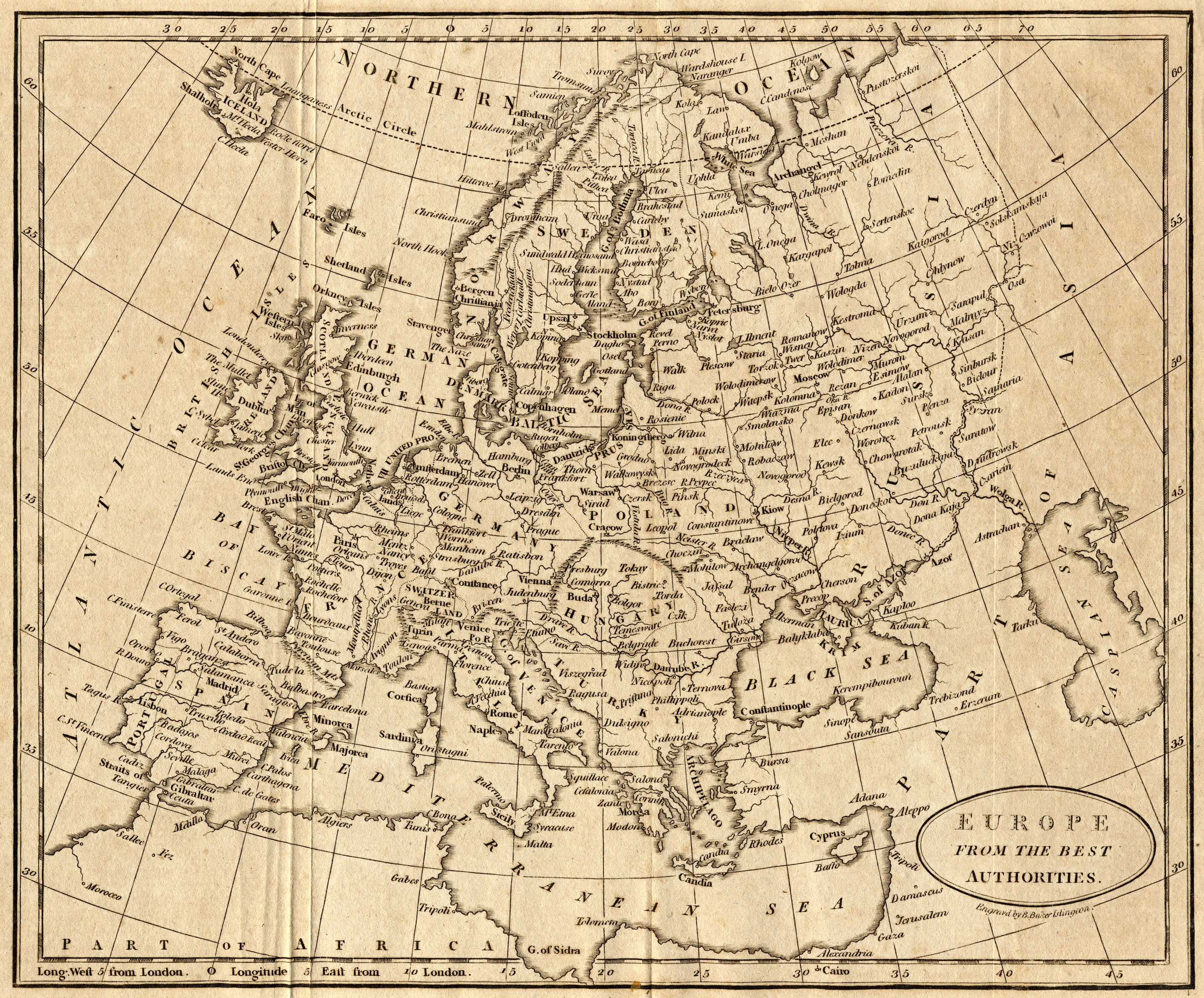
A higher resolution scan of the map. - 2416936 bytes
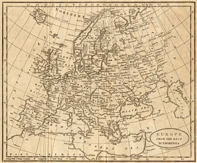
Unlike his map of Africa this map of Europe is quite accurate in physical terms. (This is what we would expect for a European map of 1802.) One point of interest for modern viewers is the naming conventions of place names that differ from what we know today. (Place names are clearer in the higher resolution version.)
Some examples are:
See the map comparison page for a discussion on the similarities and differences with the 1764 Janvier map of Europe.
The late 18th and early 19th centuries were a period of significant upheaval in Europe. In France the revolution had caused much upheaval and now Napoleon (still First Consul) was beginning to export the unrest in the form of military conquest throughout Europe.
Any maps created during this time are snapshots of the colossal events that were unfolding. The source (specifically what book it came from) of this particular map is unknown, but it is my guess that it was not made in the context of geo-political events of the day. I say this because I have a map of Africa that was (almost certainly) from the same source suggests that the book had more to do with world geography than political events in Europe. I also say this because the political borders are not prominent on the map in such a way to draw the viewer to them.
Despite the idea that this map may not have been targeted to the geo-political events of the time it is largely consistent with 1802 Europe and much can be seen in this map from that era. Some examples are:
The map is labeled as "Engraved by B. Baker Islington". This time matches with Benjamin Baker (1766 - 1841) an engraver who worked in England as a principal engraver for the Ordinance Survey. This map is (most likely) from the same title and printing as this map of Africa.