| Main Page -> Maps -> Lattre-Janvier - Europe (1764) |
|
|
|
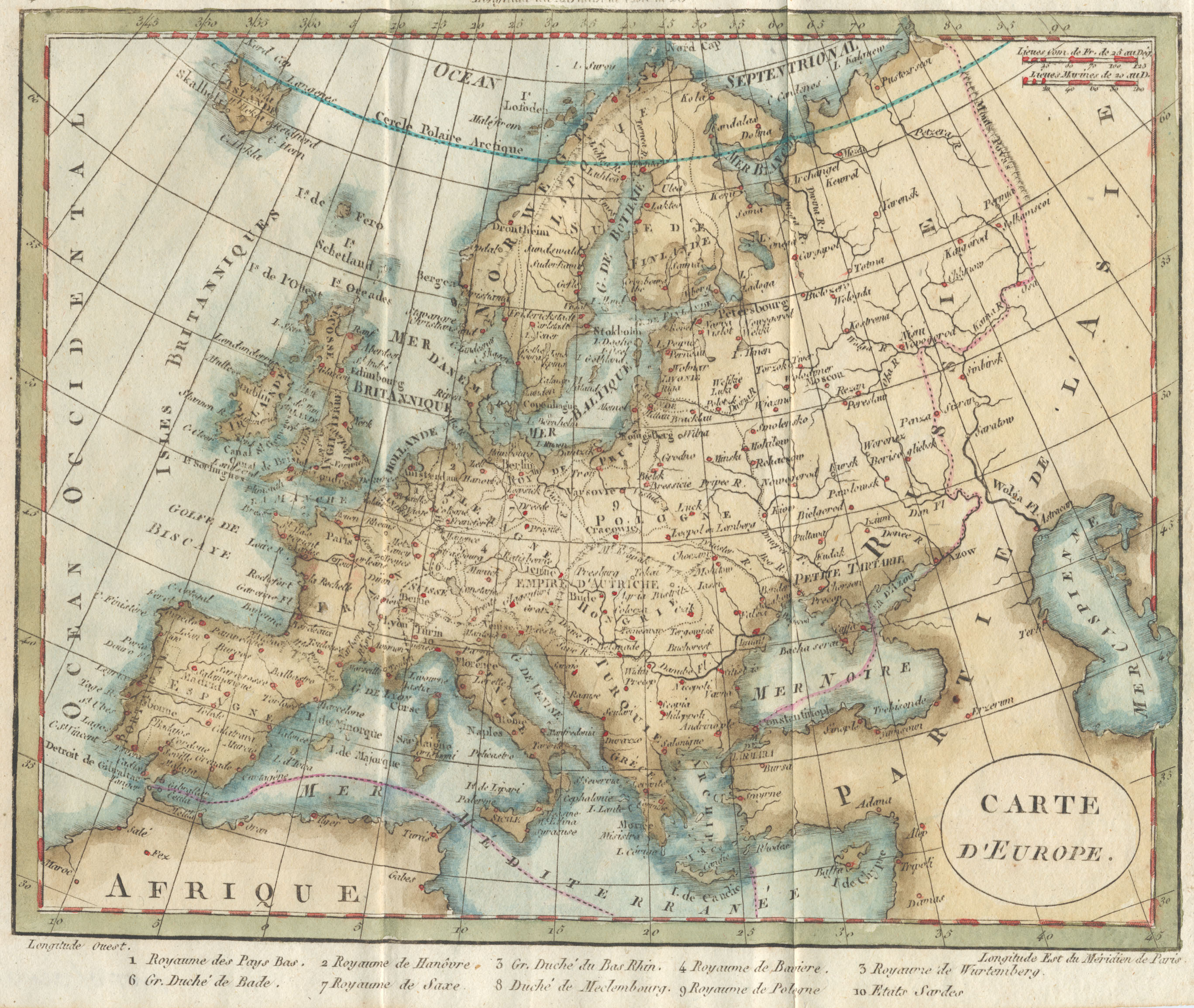
A higher resolution scan of the map. - 1307310 bytes
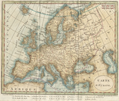
Robert Janvier (fl. 1746 - 1776) was the cartographer / engraver and Jean Lattré appears to have been the publisher.
It is of note that the Prime Meridian is drawn through (what is probably) Ferro Island in the Canaries on the top longitude scale, and through Paris on the bottom longitude scale.
I find this map interesting in how similar it is to the Baker map. European cartography had advanced significantly during the 17th and 18th centuries, so it is no surprise that these maps are as accurate as they are. But when you consider the inaccuracies of maps of America of the same time frame one wonders how much copying went on between map makers. See the map comparison page for a discussion on the similarities and differences with the 1802 Baker map of Europe.