| Main Page -> Maps -> Alain Mannesson Mallet - North Africa |
|
|
|
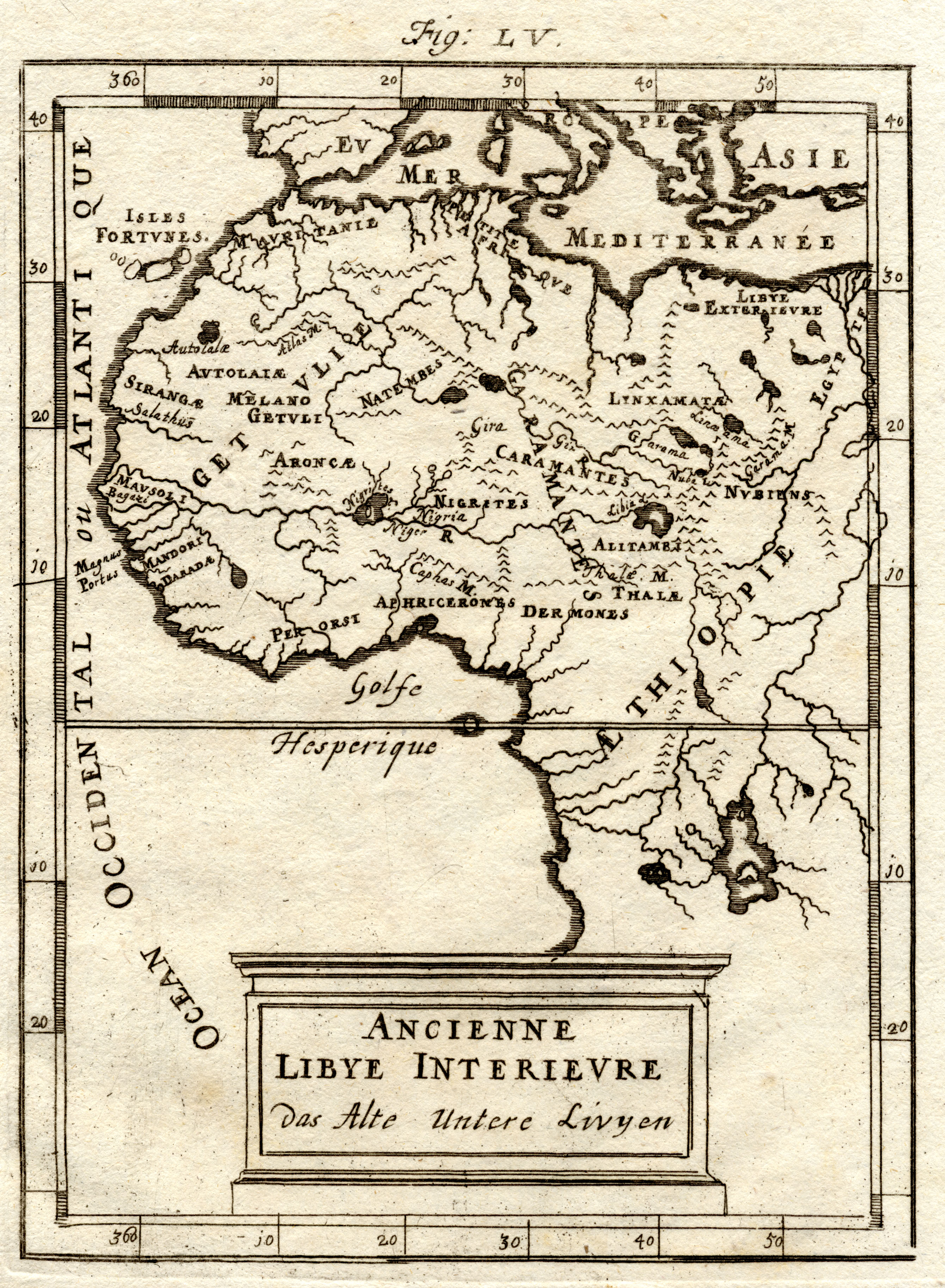
A higher resolution scan of the map. - 2257961 bytes
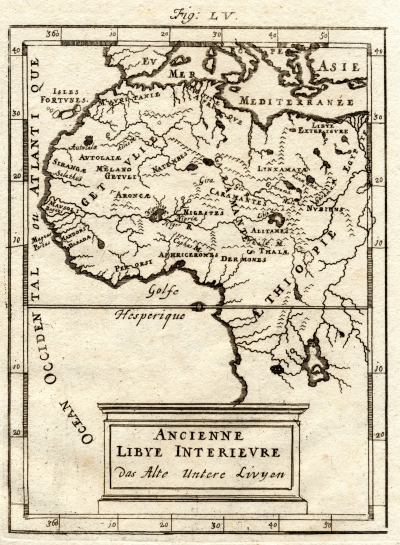
This map came as a single leaf and was dated 1719. It should first be noted that Mallet died in 1706 so this was obviously re-published after his death. The 1719 date matches the (re-)publishing of his Description de l'Univers. It is my assumption that this print comes from that publication. I have one other Mallet map of Paris, a Baker map of Africa, and a growing collection of Mallet prints on the third page.
Like the Baker map of about a century later, the Niger river is not traced to the (proper) coast. On the other hand, this map places a large inland lake (somewhat) upstream of the Nile that resembles Lake Victoria.
It is difficult to identify many of the place names on this map. In his age the coast had been well established but the interior would not be well defined for another 200 years. (The Description de l'Univers was first published in 1683 and Europeans would not set eyes on places like Lake Victoria until 1857 (by the Burton and Speke expedition). I have tried to identify place names with the Baker map but have largely given up with this one as I was not making much progress. I have included some of the place names below to possibly make this map more searchable.
The map is labeled "Ancienne Libye Interievre" and "Das Alte Untere Livyen"
Here is an incomplete list of place names:
Related Content
Mallet: Paris, Africa, Source of the Nile, Africa, Various Prints, St. Elme