|
|
| |
|
 |
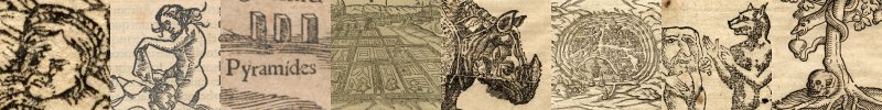
| Alain Manesson Mallet (1630 - 1706) |
| Included are a number of Mallet leaves of cities, countries, fortifications, continents, and other prints. Mallet has a larger representation here primarily because of the size (they scan well). Additional information is available on the English and German Wikipedia Page for Mallet. |
|
|
| |
|
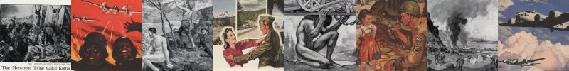 |
| National Geographic During Wartime (WWI / WWII) |
| Advertisement pages from a 1918 and a 1945 version of the National Geographic magazine. |
|
|
| |
|
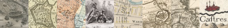 |
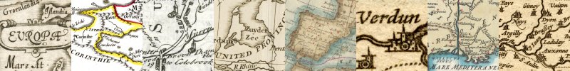
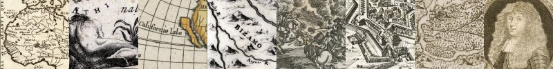
| Cities |
| A collection of various city and fortification views from different map makers over about five centuries. |
|
|
| |
|
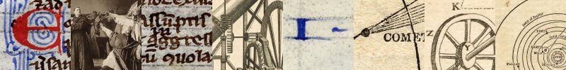 |
| Leaves & Prints |
| Single prints and leaves of collections that do not fit in one of the other classifications on this page. Of these can be included the description of the middle passage that is a full chapter of a book on slavery that has been reproduced in its entirety. |
|
|
| |
|
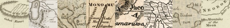 |
| Africa |
| Africa specific maps. Renditions range from Ptolemaic views to the results of explorations of the mid-late 19th century. African maps offer the most discrepancies, and have them later than any other area short of the poles. |
|
|
| |
|
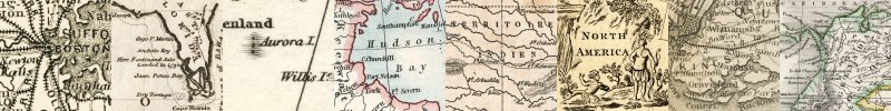 |
| Americas |
| Collections of maps from North and South America. |
|
|
| |
|
|
| |
|
 |
| Various |
| Maps not numerous enough to fit into one of the above classifications. |
|
|