| Main Page -> Maps (2) -> United Provinces |
|
|
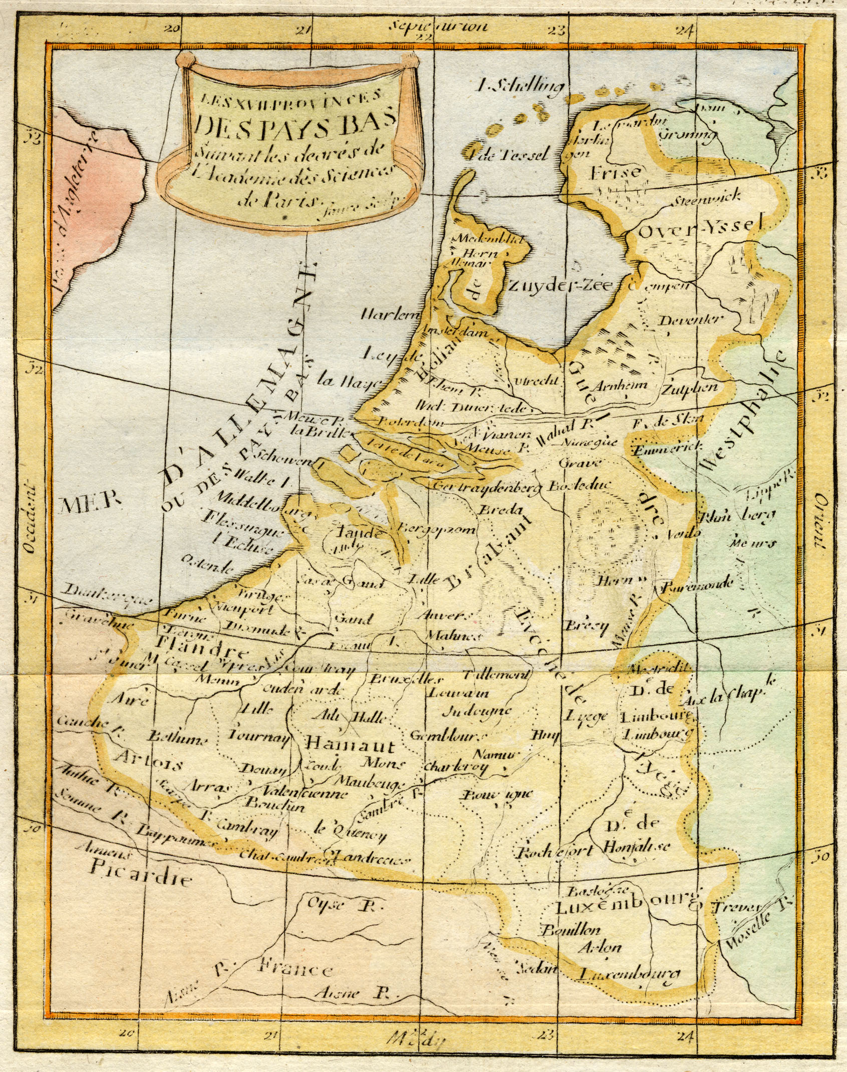
A higher resolution scan of the map. - 1023253 bytes
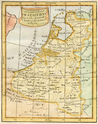
The map is dated (recently, in pencil, on the front) as 1797. The paper is consistent with 18th century but the title of the print is not consistent with the stated date of 1797. None of the department names given during the French occupation starting in 1794 are present on this engraving.
It was cleaned, colored, then matted. So it is unfortunately in poor shape and many of the place names are difficult to read.
It is for this reason that I try to acquire only originally colored maps and prints. When coloring paper of this age the modern modifications do irreparable damage to the document and may miss the intent of the original engraver. Political boundaries (as represented by colors) can be mistaken or misinterpreted, but terrain related colors can completely miss the intent or knowledge of the original print. It is easy to "impose" our knowledge of the terrain over that of the original print if we are not careful.
When analyzing prints / maps I convert the image to a high-contrast image and print, then color that instead of the original.