| Main Page -> Maps (2) -> South America |
|
|
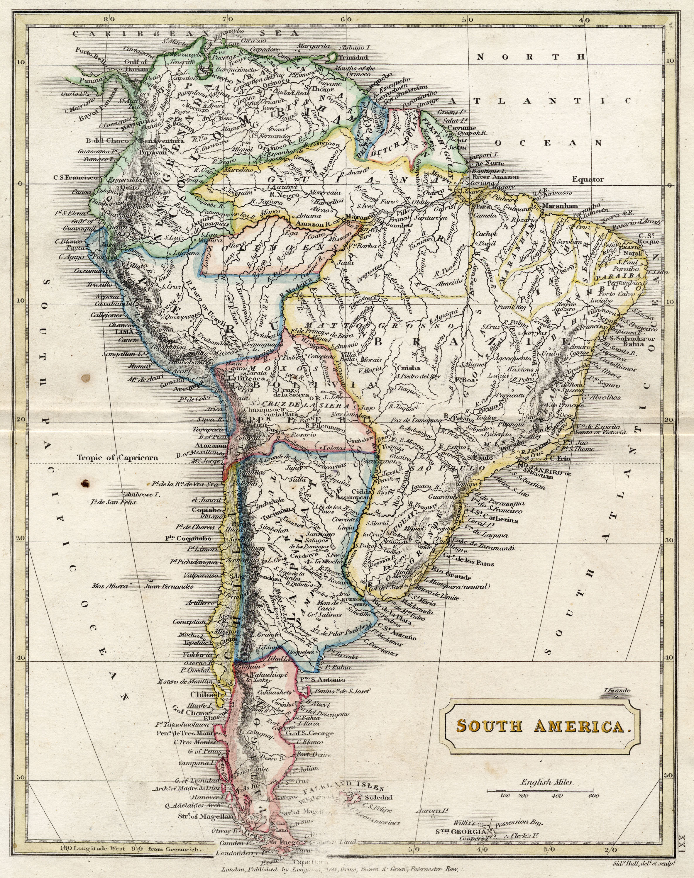
A higher resolution scan of the map. - 2107079 bytes
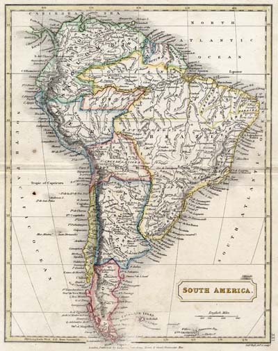
This is a map from the early 19th century. I date it using this "logic":
I suspect that it was engraved around 1820 as that puts us in the window of the engraver, while accounting for the missing of the revolutionary results of Simon Bolivar's war for independence. It is also consistent with the look and feel of the paper and the binding (although I certainly recognize that as less than reliable (when practiced by myself)).
The most notable part of this map is the inclusion of the Aurora Islands near the Falkland Islands. These islands do not exist and are frequently included in maps of this era as most likely mis-identifications of the Shag Rocks in that area. I am unable to trace many of the other items such as:
It is a very detailed map, and time spent studying it will quickly show a number of similar issues that are not witnessed in the comparison to the satellite imagery.
There is some "eraser" damage near the bottom of the map. This is not uncommon for school atlases of this "era".