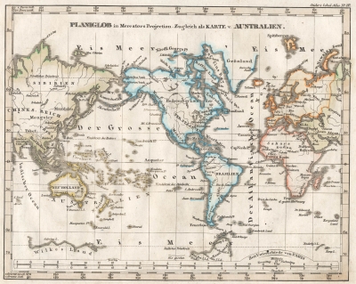
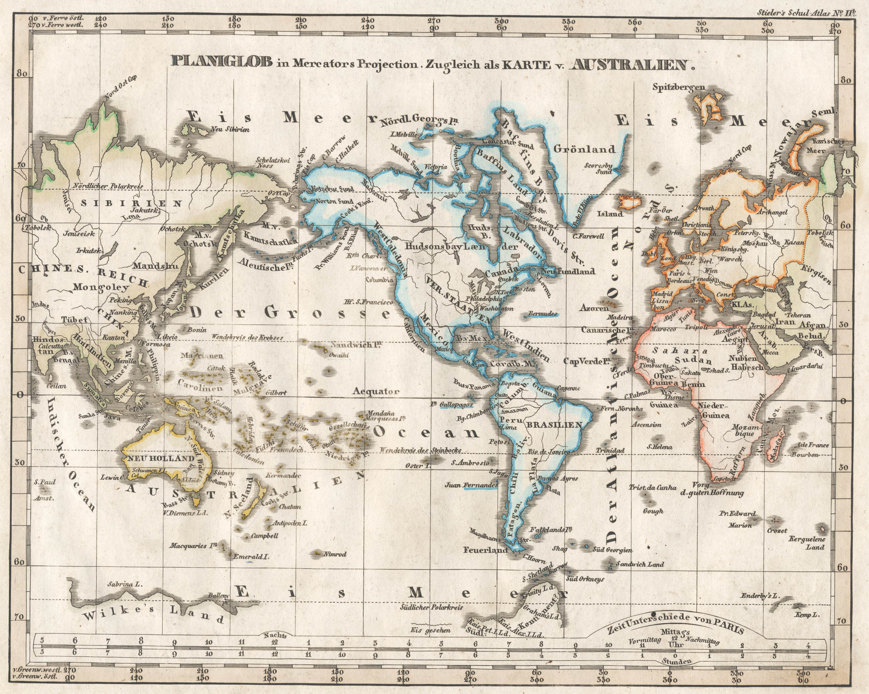
PLANGLOB in Mercators Projection. Zugleich als KARTE v. AUSTRALIEN.
Adolf Stieler (1775 - 1836) was a german map maker known for his "Handatlas" and school atlases. They were re-published for about a century after his death.
There are many copies of this map on the web for comparison that are more interesting than the satellite comparison.
My copy has damage in the south pacific (that is labeled "The Large Ocean") that is common to school atlases.
Some things of interest in this map are:
The top longitude scale and lines are based on Ferro Island in the Canary Islands, while the bottom longitude scale is based upon Greenwich England. A third "time zone" scale is printed at the bottom above the longitude scale.
The Pacific Ocean is labeled as "Der Grosse Ocean" that translates to "The Large Ocean".
The (details of the) Pacific Ocean and Antarctica were relatively recent discoveries during Stieler's lifetime. The internals of Africa would not be mapped for decades after Stieler's death. It is in these areas that the most interesting inaccuracies are.
West Caledonia seems to be a extension of the New Scotia / Caledonia / Scotland naming for parts of Canada.